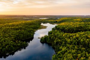
 The valuation of waterfront recreational properties, including islands and woodland, present unique logistical and technical challenges not least of which is the fact that there are a wide variety of property purchasers, local, national and international, with purchase motivations spanning the spectrum: owner occupation, timber harvesting, passive investment, environmental preservation, trophy ownership, the simple joy of owning a pristine property … then there is the problem of locating, getting to and inspecting the property, and recording its attributes (water frontage characteristics, topography, vegetation cover).
In order to meet the constraints (weather, accessibility, cost, heterogeneous sales data) implicit in many types of rural property appraisal and valuation assignments, and to ensure that the real estate value is accurate, our Valuation Team has developed specialist methodologies for inspecting and valuing recreational and resource property. In so doing we have relied heavily on the use of our Geographic Information System (GIS) and our proprietary CompuVal® information technology platform. Island inspections usually require access by helicopter, boat or canoe, so minimising time on the ground whilst capturing “critical to value” features of the property, is essential. Mainland inspections have their own challenges, not the least of which is locating the property boundaries for a parcel which may be situated a ten kilometre hike from the public highway. By downloading the boundary co-ordinates onto a hand held GPS, and utilising our GIS personnel to layer them onto a coloured aerial or satellite photograph, we ensure that we are inspecting the correct property. To undertake the property inspection efficiently we have developed a survey instrument that captures 53 “critical to value” characteristics, and up to 106 attributes, of the parcel. Using our GIS we are able to produce site inspection maps rendered with the type of land (or water), tree type and height, and topography, to aid in the property inspection process.
Recreation and resource property valuation is challenging: although we now acquire the raw data (location, sale price, purchaser’s name) in bulk from provincial sources and process it into usable form using proprietary algorithms, detailed information on the sales of comparable properties, on which the accuracy of the valuation process depends, (land area, type, quality and quantity of water frontage, topography, timber maturity, land quality, etc.) has to be captured from a variety of sources. Because the properties are heterogeneous, and often include ocean, lake or river frontage, the “standard” appraisal technique of analysing the sale price on a “per acre” basis and then “adjusting” for the difference between it and the property being valued, frequently fails to produce a reliable and accurate result. We have therefore developed proprietary real estate software which analyses the sales data on a “component basis”, breaking out the basic land value; waterfront benefit; road front benefit; and unit land value keyed to the land type, timber cover and maturity. We use this “component” information to value the subject property. We have also extended the use of GIS to create property value maps: this allows us to identify higher value land parcels with development potential.